
Seismic Surveying
Sustainable surveying for precise bedrock profiling
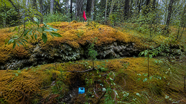
Modern seismic surveying enables us to investigate subsurface conditions and produce detailed bedrock and layer-depth profiles. For this purpose, the measuring instruments are positioned at regular intervals of approximately 15–30 m along a survey line. Two instruments record natural ground vibrations in parallel, providing information about different subsurface layers and their seismic properties.
By analyzing and combining the individual measurement points, a continuous depth profile can then be created along the entire survey line. This allows, among other things, the thickness of different subsurface layers and the depth to bedrock to be estimated.
The surveys and data analysis are carried out using hardware and software from MOHO, for which we have received appropriate training. The results provide a valuable basis for assessing subsurface conditions as well as for the planning and evaluation of construction and mining projects.
in collaboration with
